LifeguardingPredicting Drowning From Metocean Forecasts

A Southwestern France Case Study
Unless taking on waves of the likes of Nazaré, drowning is not something many surfers tend to give thought to. Yet drowning remains a major cause of non-intentional deaths from injury worldwide, which means that the risk is always there, and that prevention is of the essence. In a previous article, Surf Simply looked at an Israeli case study on the ability of lifeguards to anticipate surf hazard instigators, particularly rip currents, which are the leading causes of ocean drownings across the world. And whilst predictive models using the occurrence and speed of rip currents’ flow have been implemented in the USA, Mexico, Great Britain, and India, none had paid heed to metocean conditions.
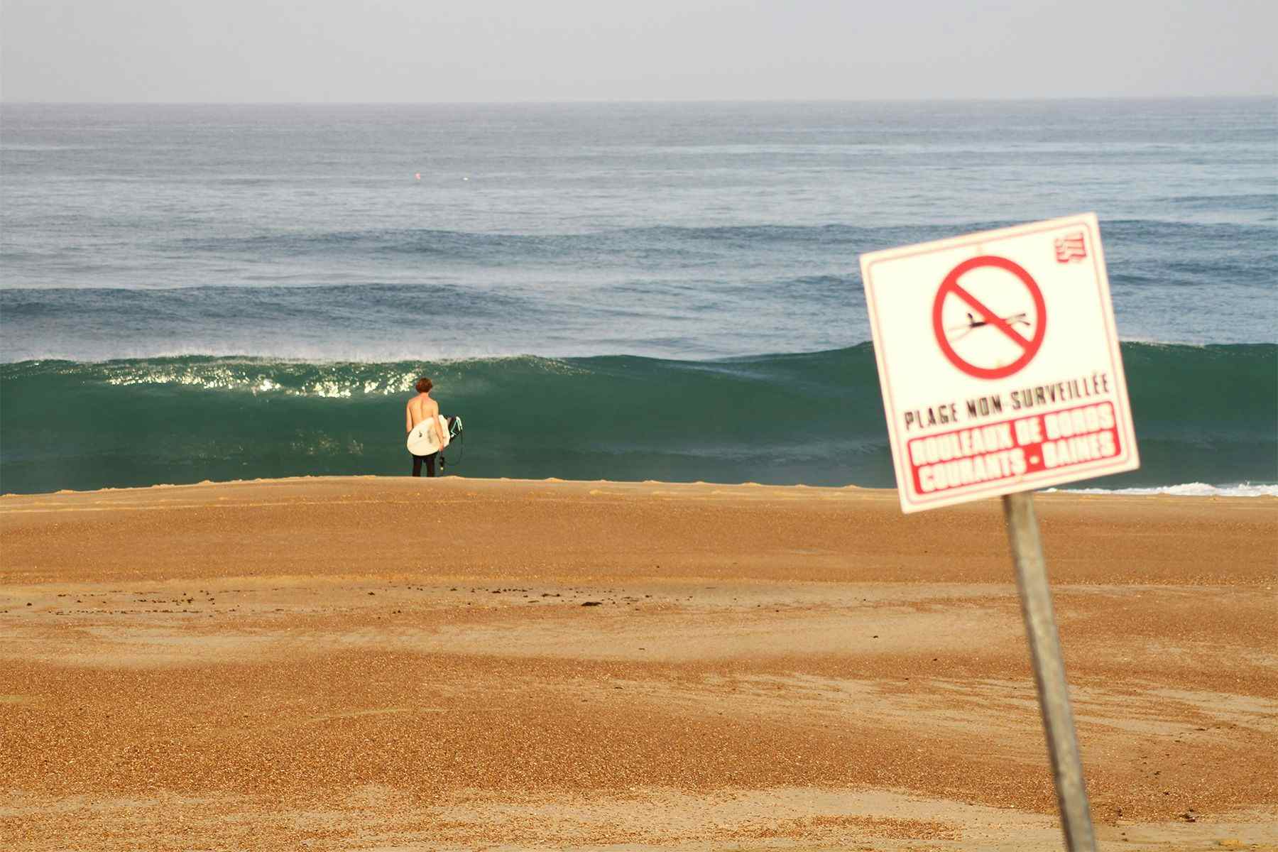
Gironde, a 126-km-long stretch of sandy beaches in southwestern France, was the site chosen for a pioneering study that focused on developing a model to predict the risk of drowning based on wave and weather forecasts. The region is home to renowned surf spots like Lacanau and the Le Truc Vert stretch – but is notorious for its rip currents. This, together with the fact that most beaches in Gironde are only patrolled in July and August, also makes this section of coastline particularly susceptible to drowning events (between 2011 and 2016, 576 people required rescue, and there were 24 drowning fatalities). And when considering the length of the coastline, these numbers amount to an annual mean of 3.3 deaths per 100km – equivalent to the highest recorded in the United States.
“The number of people exposed to a rip hazard is directly related to the number of swimmers and other water users, and therefore linked to beach attendance. Attendance rises on holidays, weekends, and with increased air temperature and less cloud cover; the number of bathers reflects air and water temperatures and (possibly) wind speed,” write the researchers. With these potential predictors in mind, they looked at rescues and drowning reports from the Medical Emergency Center of Gironde, recording the time of the year and the day of the week when the event occurred, as well as the weather and metocean conditions (including wave height, period and direction) on that particular day.

Two models were fitted with data from the bathing season (April-October) in 2011, 2012, and 2013 and, guided by weather and ocean forecasts from the Cap Ferret weather station, were used to predict events that took place between April and October of 2015, 2016, and 2017. One model projected a daily coast-wide risk for an adverse water event based on wave and wave incidence factors, air temperature, type of day and season; the other predicted the risks at 3-hour gaps throughout the day (e.g. from 9:30 – 12:29) based on sea height, wave parameters, air temperature, time of day, type of day and season. Since using a binary risk scale could trigger false alarms, the researchers opted to create a five-level scale – such as the one used to predict snow avalanches.

Of the 563 days analysed between 2011 and 2013, there were 242 adverse water events (136 rescues and 106 drownings) on 108 different days. And of the 612 days analysed between 2015 and 2017, 232 adverse water events (155 rescues and 77 drownings) were reported on 104 different days. To assess their coast-wide risk, researchers ran the prospective data on the models and gauged them according to the scale. The daily model missed 1 of the 158 days when there were rescues rated low-risk, and predicted 45.8% of high-risk rescues. Meanwhile, the 3-hour model missed 2 of 481 rescues, one at the lowest level (0.4%) and one at the highest (15.7%), one of whom was a surfer. For the daily model, variations in air temperature (40.9%), wave factors (21.7%), and time of day (16.2%) were the main predictors. The chief predictors for the 3-hour model were air temperature (28.9%), time of day (17.8%), and wave factors (12.6%).

This was the first study to tap into the widely-available metocean data to build a tool for the prediction of life risk related to drowning – as opposed to merely examining the association of ocean drowning risk with weather conditions. Other studies show that beach morphology, a determinant factor in rip current hazard, also impacts the number of drowning incidents, and the researchers say that “a beach bathymetry proxy could be added to the model to address its influence.” They also highlight that although the model can be adapted to similar beaches with rip currents, the findings shouldn’t be generalised. And since beach attendance is not measured in Gironde, the current version of the model does not account for such data and therefore cannot directly estimate exposure. Nevertheless, given the results, the model can be used as a trigger for targeted preventative messages, as well as an aid for rescue services in the efficient allocation of resources.
“The next steps are forecast validation by lifeguards and automation of feedback,” the researchers write. “We must still explore what beachgoers and decision-makers consider to be ‘low’, ‘moderate’ or ‘acceptable’ risks. The study of social factors influencing beach attendance and water use might still be important to study to formulate preventative messages. This will be the object of a future study.”
*****
Reference: Tellier É, Simonnet B, Gil-Jardiné C, et al Predicting drowning from sea and weather forecasts: development and validation of a model on surf beaches of southwestern France Injury Prevention 2022;28:16-22.